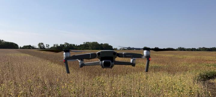
With 81 percent of the nation’s corn crop and 62 percent of soybeans emerged, it’s time to get into crop scouting mode. At Stine®, we’re using a multi-pronged approach to crop scouting in our Master Yield in the Field plots and on the Stine Seed Farm. In addition to walking fields and taking notes, we’re now able to get a bird’s-eye view of our entire fields via drone technology.
As drones have become more commonplace in agriculture, the technology has advanced to accommodate the various demands of the industry. Stine, for instance, uses drone technology for crop scouting and to help tell the story of our corn hybrids.
Telling the Stine Corn Story
At Stine, we don’t want to tell you that our line of traited and conventional corn products are the best in the industry; we want to show you. How do we do this? Through data. Our Elite Yield Trials and Master Yield in the Field plot program have allowed us to collect decades of yield data, but through drone technology, we can now use visuals to complement the data and provide a more robust picture of how our products perform. Drones allow us to follow the development of corn, from emergence through harvest.
By monitoring our hybrids and tracking the vegetative indexes as they grow, we’re able to better understand how the hybrids will act in different growing conditions and field types. While we’re able to explore the vegetative states of certain portions of our plots by walking fields, the sheer number of plots in our program makes it a challenge to explore each and every acre. With drone technology, we can view entire fields. What we typically look for at various stages includes V2/V3 — stand count and canopy coverage gaps; V6 — canopy coverage and vegetation index; VT — vegetation index; R2–R3 — vegetation index; and R5–R6 — plant lodging.
We’re partnering with a drone technology program that can produce data in real-time as we fly the fields, which is delivered to a digital platform where our Agronomy team can access results, no matter their location. Certain components of this technology allow us to evaluate hybrid population, density performance, crop biomass, crop health, stand count, canopy coverage percentage, lodging scores, moisture accumulation and growing degree units.
As we accumulate more data over the years, we look forward to sharing the story of each hybrid — how it handles certain soils, environmental conditions, disease pressure, planting populations and more. Our goal is to model the data to the point that we’re getting a good estimate about what the hybrid will do in a given year and under certain conditions. This information ensures we deliver the best hybrid for your field type and growing environment.
Crop Scouting
Our Agronomy team and some of our sales team members are equipped with drones to aid in the normal crop scouting process. While assessing stand counts, we typically look at 1/1,000 of an acre by walking fields. In contrast, drones can look at every plant. Each Agronomy team member has a drone to check our Master Yield in the Field plots, where they can measure stand counts and look for areas of concern. We’re also using them to gauge the success of seed treatments, including in our overtreatment research. This information will eventually provide us with scientific answers as to why overtreating seed is worth the extra cost or not.
One of the other programs we’re experimenting with provides us a live map, so as you fly the field, you can see the field map and know exactly where to walk to if you find an area of concern. The live map stitches the entire field map together as it flies over your acres. If you see a pattern of fewer plants in an area, you can find out right then and there what the issue might be, whether related to water runoff, water infiltration, nutrient problems or soil conditions.
And, of course, if a grower has an issue in their field, our sales team is available to take one of our drones out to assess their field for healthy versus unhealthy areas to get down to the root of the problem. If you have any questions related to how we use drone technology in our research or if you need assistance scouting your fields, please don’t hesitate to reach out to your Stine sales rep.