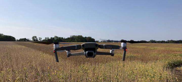
The use of drones in crop scouting is becoming more commonplace. At Stine, we’ve found that drones are very resourceful tools for research. We first started using drones a few years ago in Argentina to perform comparisons — walking fields and taking maturity notes versus the data collected by drones. Our goal was to see if the algorithms from drones were in line with the maturities we found walking the fields. We had very good results, so much so that we started using drones in the United states on about one-third of our plots. Again, we compared our walking notes to the notes from drones for maturities and our results were very successful! In fact, we’re finding that the drone is more precise and gives us more consistent data over time.
In Soybeans
When we go into a soybean plot (roughly a 25-acre plot), we look for the plants that are starting to turn into their maturity zone. From there, we start calculating when they mature. Collecting this data would normally take four to five people with tablets four hours in a day to walk, followed by walking the same plot every five days to take additional notes to call the maturities in that plot. A drone can collect the data much more quickly. With a drone, we can now go to that site with one person who launches and flies the plot in 30 minutes. The drone operator still returns every five days to check maturity, but the efficiency is tremendous! We operate the drone on our own, and once the drone pictures are available, we work with a secondary provider to calculate the findings with their algorithms and send us the data with relative maturities.
In Corn
In addition to testing maturities in corn, we’re also able to view plant populations and corn stand with drones. We fly the drones when plants are small to calculate how many plants are in every one of our plots. Similar to soybeans, what used to take four to five people counting every plant so we can see the population to calculate harvest results, drones help us perform the task in a fraction of the time and with fewer people. In a few hours, the drone can calculate how many plants are out there. There’s a lot less labor involved.
Future of Drones
As the technology advances, we anticipate drones playing a larger role as we move forward. Testing maturities and plant stand are just the tip of the iceberg. There are companies that are now working on other purposes to help advance agriculture, including aerial herbicide applications with drones and detecting diseases. While we’re not using that specific technology on our farm, it’s not out of the question for the future. We first need to compare the data to what we do manually to ensure the technology is accurate before we pursue additional opportunities. The future is endless with this technology, and we’re excited to get involved to help make our research programs better and more efficient. With over 970,000 soybean and 350,000 corn plots in our research program, drone technology allows us to do more with fewer resources and with better accuracy. And the more we expand our research efforts, the better genetics we develop for the future of farming.