Drones are changing the future of agriculture. As part of Stine’s research efforts, we frequently deploy drones to assist with in-season scouting. For years, this innovative technology has provided added value to seed retailers and crop producers as they offer a different perspective of the field. Now, drones are even more advanced and capable of surveying what lies beneath the crop. Some growers even use drones for agriculture spraying.
Stine’s agronomy team relies on the use of drones for agriculture research each growing season, including in our Product Development Plots (PDP). This year, the team is already planning ahead on how they will use drones to focus on disease characterization and product placement.
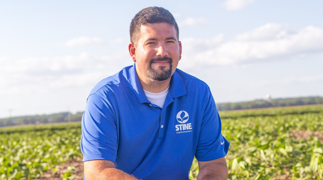
“We’ve used drones on the research and development side to scout crops for some time now, but this year we’re taking it a step further,” says Stine® soybean technical agronomist Tyler DuBay. “As soon as the growing season hits, we plan to use drones to strengthen our soybean disease scoring to provide more accurate results for our 2025 seed catalog. This will help growers get a better sense of how our soybean products stand up to certain diseases.”
IDC scoring
The benefits of drones are impressive. Once the first seeds of the season are planted and emerged, Stine will use drones to scout soybeans to determine iron deficiency chlorosis (IDC) scoring. If you’ve reviewed the 2024 Stine Seed Catalog, you’ve likely seen how we classify IDC ratings as very good (VG), good (G) and average (AV). We hope to improve these ratings for our 2025 products.
“Drones allow us to detect IDC in fields in a more consistent manner,” says DuBay. “Sometimes, human observation and scouting can only do so much and can be subjective. Drones can survey more acres at a faster rate and eliminate any subjectivity.”
Both the agronomy and research teams plan to conduct IDC scoring in plots this summer, so they will combine efforts to determine cumulative results for the upcoming catalog.
SDS scoring
In addition to the benefits of drones for IDC scoring, our agronomy team will also look into sudden death syndrome (SDS) — our first time using aerial crop imaging for SDS scoring.
“This winter, I found research by Kansas State University about using drones to detect SDS,” says DuBay. “This piqued our interest because no other seed company or university is doing this research. For 2024, Stine will lead this effort with consultation from K-State. It’s an exciting venture for us this year.”
Our SDS research plot is planned for southeast Iowa this spring. DuBay will manage the plot and do both manual and drone scoring and then compare findings to check for correlations.
“If we can do SDS scoring via drone and prove it works, we can take it everywhere. We’ll deploy it in our PDP program throughout the country,” says DuBay.
DuBay hopes to check for white mold in plots as well. While white mold isn’t something that can typically be detected by drone, it’s a process he’s looking into to get more data points.
Different technologies, different functions
There are different types of drones in agriculture that provide aerial crop imaging. In addition to disease scoring, Stine’s agronomy team uses drones to look at stand counts and plant heights in corn. For soybeans, we look at maturity scores and canopies to determine yield predictions. Stine’s research and agronomy teams will use a combined 20 drones this season, with different technologies including standard Red, Green, Blue (RGB) devices and multispectral — a technology that uses six different sensors on the camera.
The University of Nebraska-Lincoln Extension notes multispectral drones “involve sensors beyond standard RGB cameras, along with image processing, to generate maps of crop condition, or stress.”
The multispectral camera on drones allows us to measure the amount of leaf area on plants and canopy growth. This helps us project a ranking of yield without raw yield data.
“Planting doesn’t slow us down; combining does. If we could get yield predictions to work, then we wouldn’t have to wait to combine our early generation products in our plot program,” says DuBay. “For example, we could use drones to detect which five products are performing and have the best yield potential and move those forward without waiting for harvest results. We can essentially work a month ahead.”
While this technology is still in its early stages, Stine is working with other companies to help us get there.
“The drones take the pictures, but there are some very small, niche groups working in drone technology that have designed platforms with very complex algorithms that allow for machine learning of all the data we collect across the U.S. in our research and plot programs each year,” says DuBay. “Each year, the predictions are getting better.”
The ultimate goal
The ultimate goal of our drone research is providing higher confidence in our yield data and placement of products in addition to homing in our disease ratings. We also want to find the highest-yielding products more efficiently and quicker than manually reviewing each field. Drones will allow us to do that and, ultimately, help us put more plots in across the country.
“The goal with disease scoring is to try to make results objective versus subjective. This will help the farmer gain confidence in scoring by seed companies,” says DuBay. “People’s opinions change about diseases, making manual data somewhat subjective. Using drones gets rid of the bias. What usually takes a day to manually rate can now take 15 minutes.”
Right now, we can plant and monitor about 1.2 million plots per year. Drones can allow us to test up to 10 million plots across the U.S. and Canada, according to DuBay.
What’s in store for the future?
The future of drones in agriculture is vast. In the coming years, Stine may look into LiDAR (Light Detection and Ranging) technology to detect lodging and other scores.
“While it is not our focus right now, the technology has proven it can work for corn. It can sense when corn has fallen over or lodged,” notes DuBay.
For now, we’ll keep searching for and testing new drone technologies and platforms to improve our product research and, ultimately, advance our offerings for our grower customers. The horizon seems endless for the types of technologies available, and Stine will always test what we can to improve the future of farming.
“I can envision satellites starting to come into account as well, where in the future we start using satellite imagery instead of drone imagery,” says DuBay. “We’ll always be prepared to go where the technology takes us.”
To learn more about drones for crop research, contact your local Stine sales rep or agronomist. Stay tuned for future content related to our drone program as this year’s planting and growing seasons progress.